
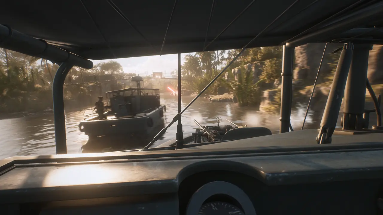
All six launch maps
| Map | Main terrain and fighting style |
|---|---|
| Thanh Hóa Bridge | Major river crossing, bridge approaches, villages, trainyards, jungle, and mountain cover |
| Huế Outskirts | Terraced farms, dense jungle, defended bases, industrial areas, waterways, and vertical combat |
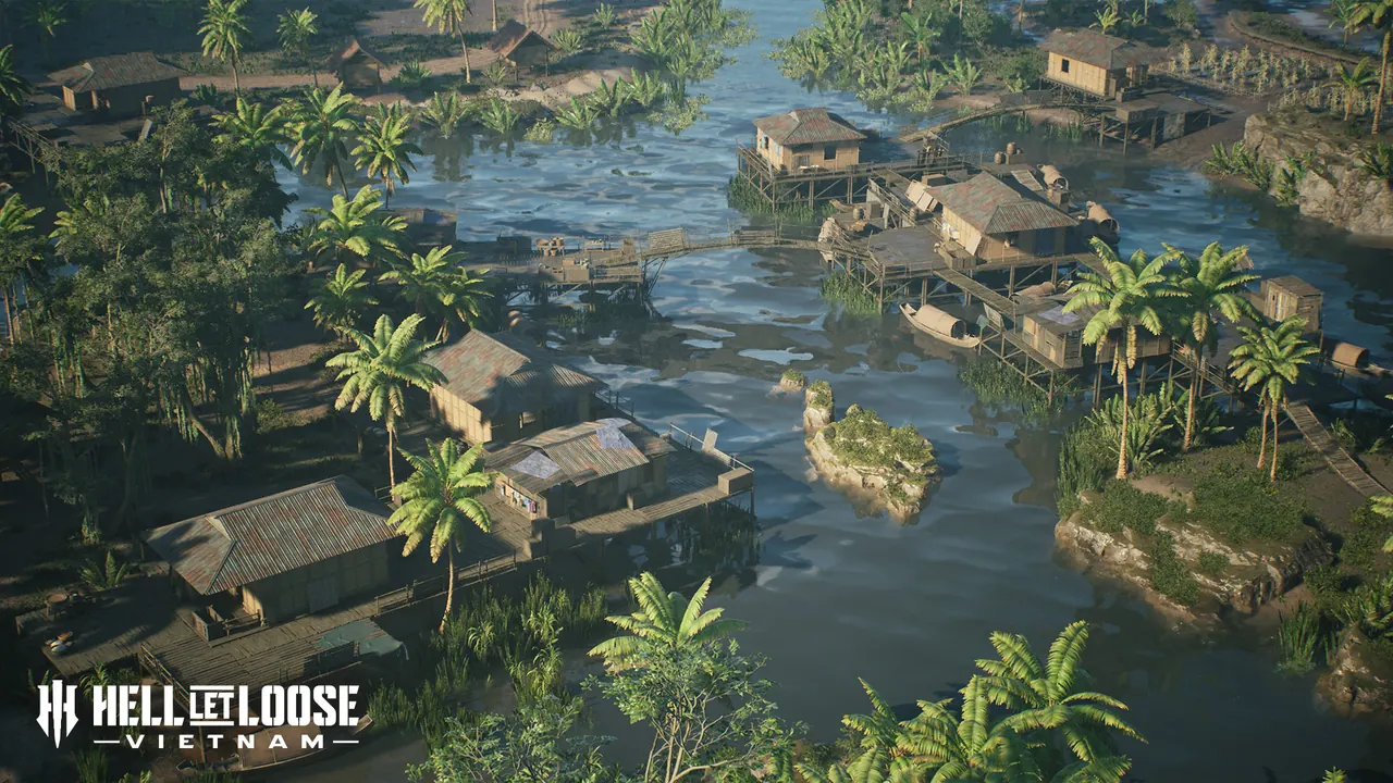
| Vạn Tường | Small villages, semi-urban fighting, jungle, beaches, and a river network suited to boats and ambushes |
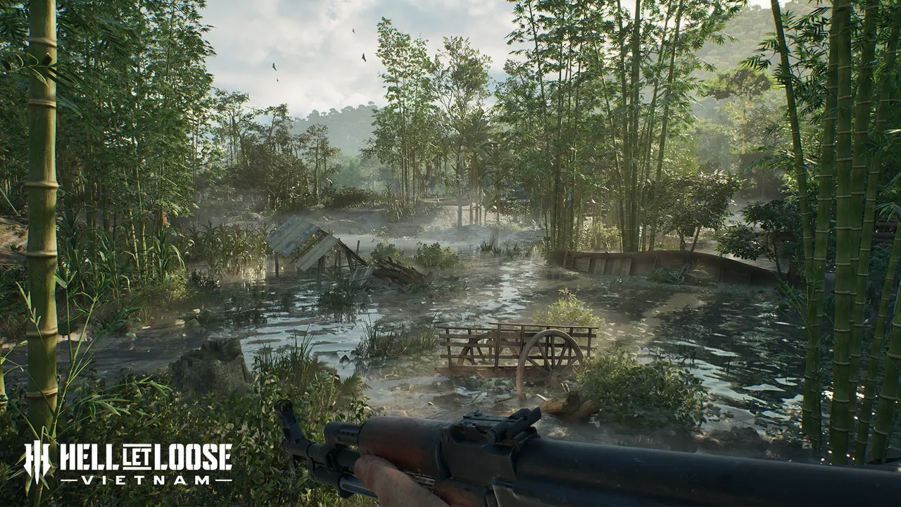
| Quảng Ngãi | Monsoon flooding, rocky cliffs, caves, bamboo forest, open lowlands, and beach approaches |
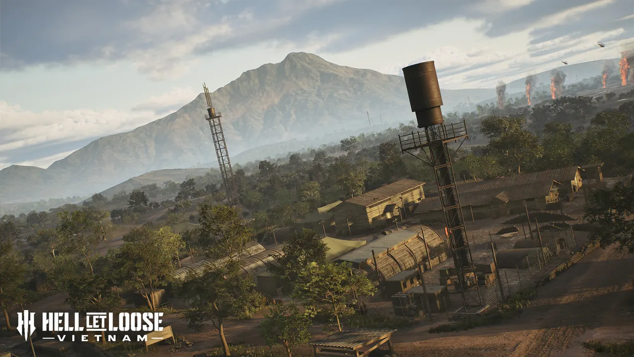
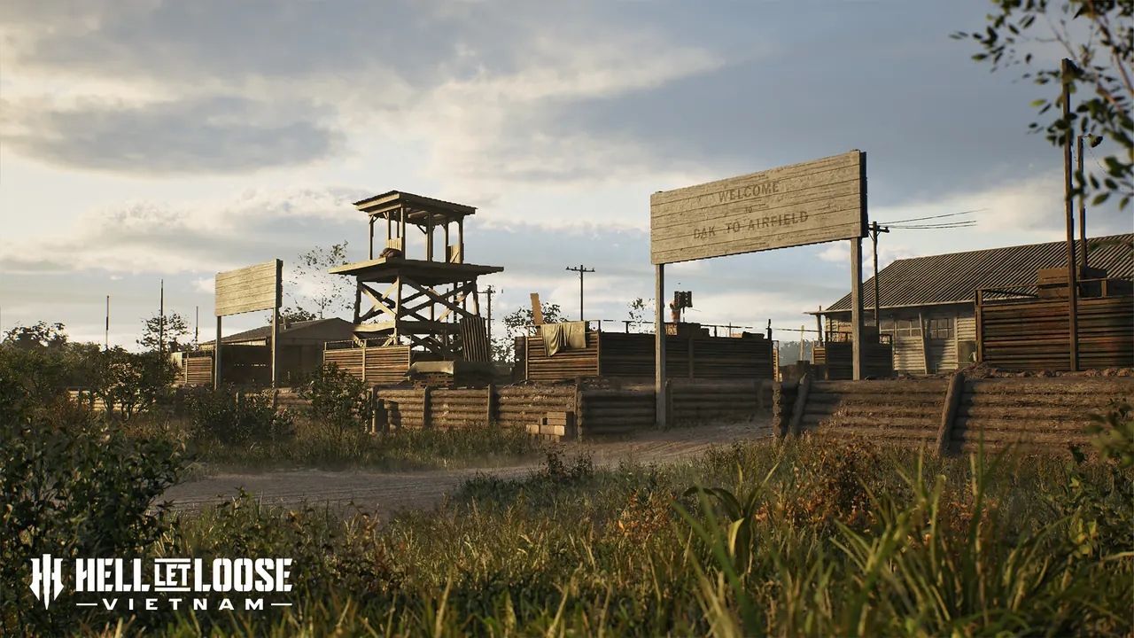
| Đắk Tô Airfield | Long exposed airstrip, fortified positions, nearby villages, hamlets, and surrounding jungle |
| Cam Ranh Port | Militarized facilities, industrial docks, dry creek beds, rolling dunes, and open boat routes |
Pick the map advice that matches your problem
| If you are struggling with… | Read first | Immediate action |
|---|---|---|
| Crossing an exposed objective | Thanh Hóa Bridge or Đắk Tô Airfield | Check smoke, cover, and alternate routes on the 3D map before spawning forward |
| Jungle ambushes and short sightlines | Huế Outskirts or Quảng Ngãi | Move with the squad and treat riverbanks, cliffs, and bamboo as route decisions |
| Boats and water crossings | Vạn Tường or Cam Ranh Port | Mark the landing or crossing point and avoid committing without an extraction route |
| Finding the next useful spawn | Any map | Compare the active sector, squad outpost, and safe approach instead of selecting the nearest icon |
The terrain descriptions come from the official launch-map pages and Steam launch summary. The actions above translate those descriptions into the decision a player must make in a live match; they are not claims about a fixed rotation or guaranteed strongpoint layout.
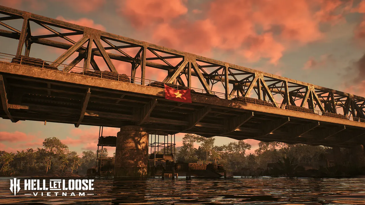
Thanh Hóa Bridge
Thanh Hóa Bridge centers on the bridge known as the Dragon’s Jaw and the Nam Ma River. Teams fight for crossings while villages, trainyards, jungle, and mountainous ground provide alternate approaches. Expect exposed movement near the river and close fighting around built-up positions.
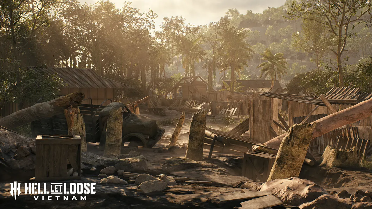
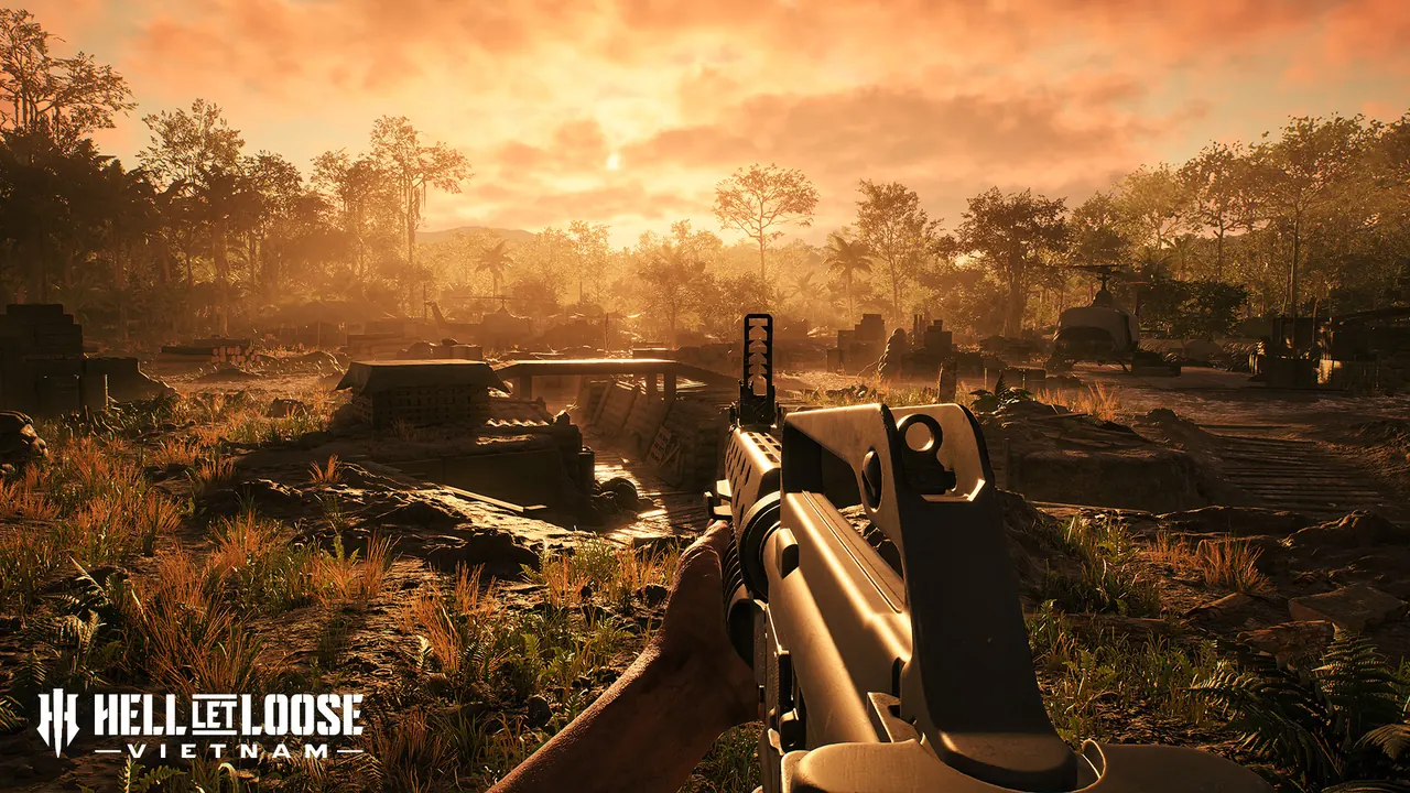
Huế Outskirts
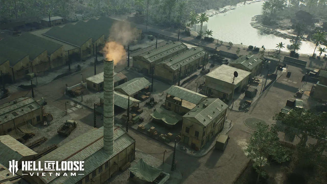
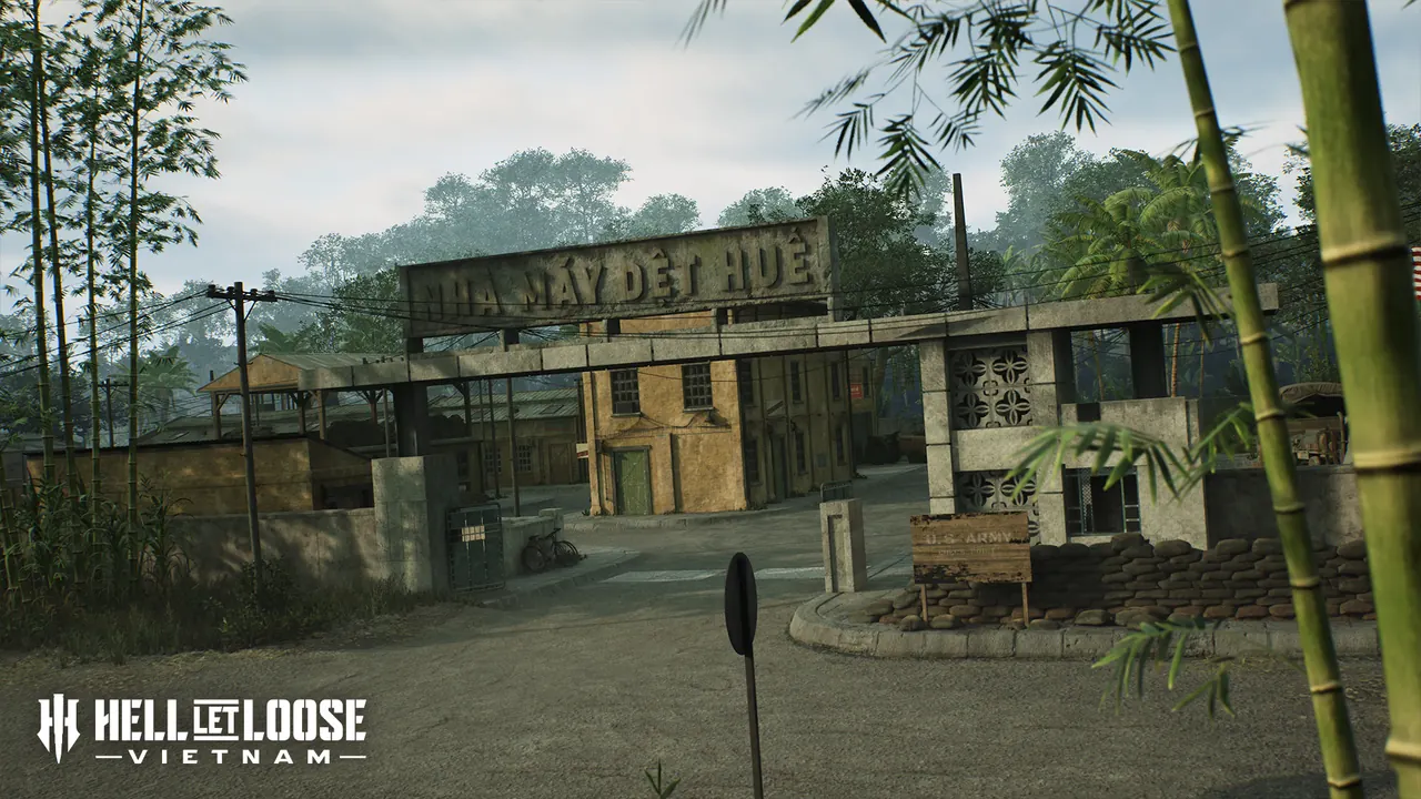
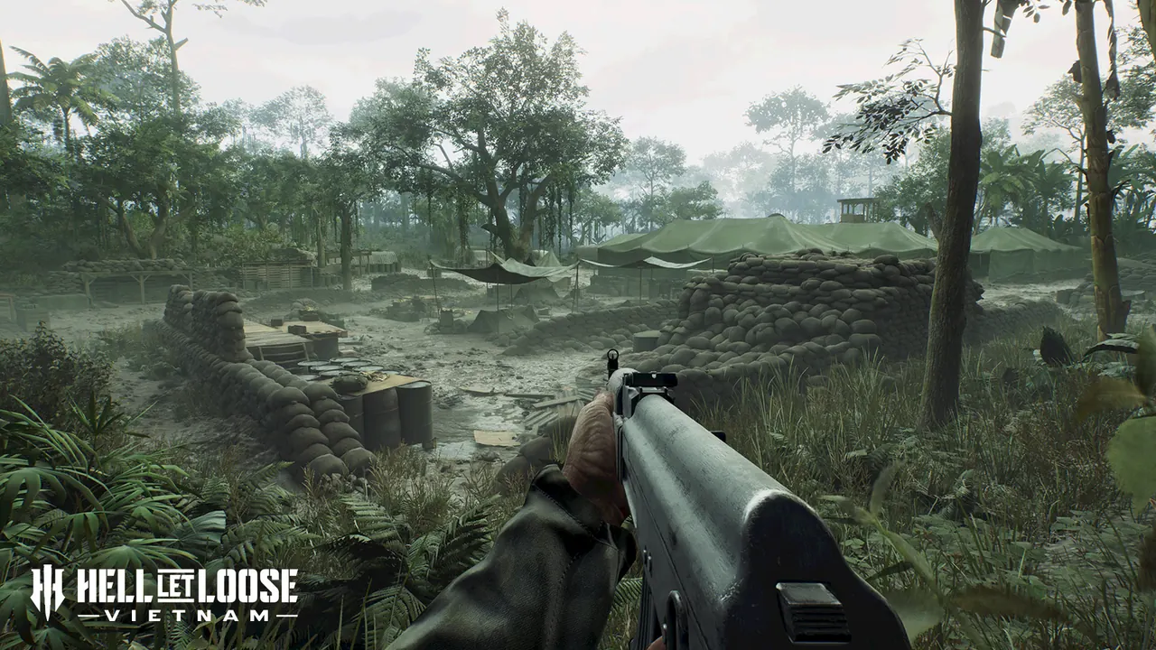
Huế Outskirts takes place outside the city rather than in a full urban reconstruction of central Huế. Its terrain mixes mountains, terraced farms, dense jungle, defended bases, concrete industrial areas, and connected waterways. Elevation and short sightlines make route choice especially important.
Vạn Tường
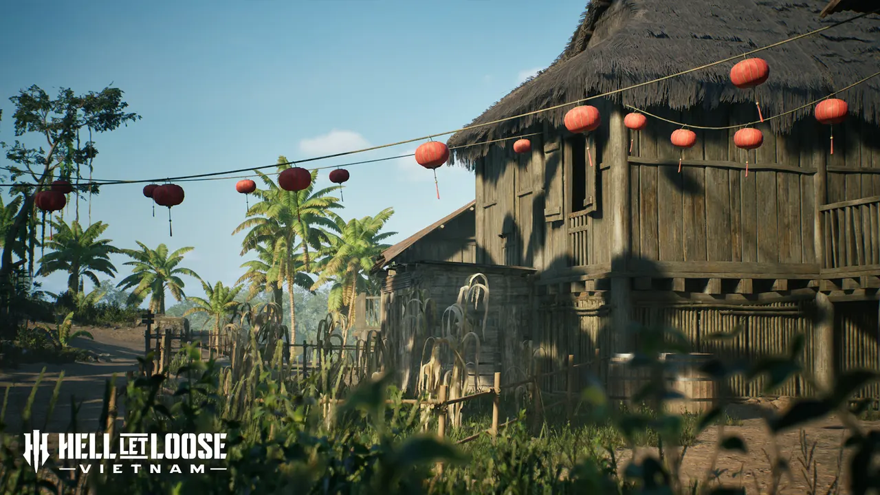
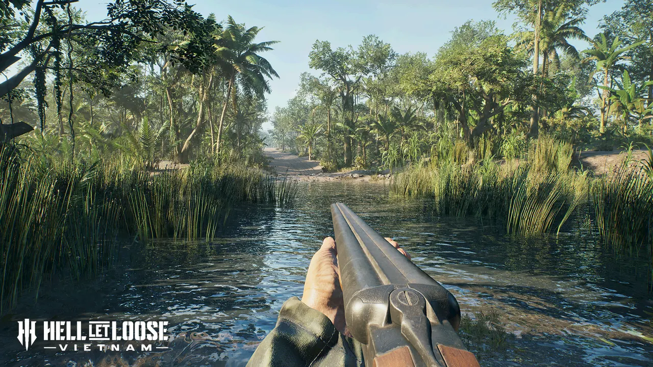
Vạn Tường combines village combat with dense jungle and a sprawling river network. Boats can move through the waterways while infantry uses foliage near the banks for ambushes. The map’s semi-urban spaces create frequent transitions between open movement and close-range fighting.
Quảng Ngãi
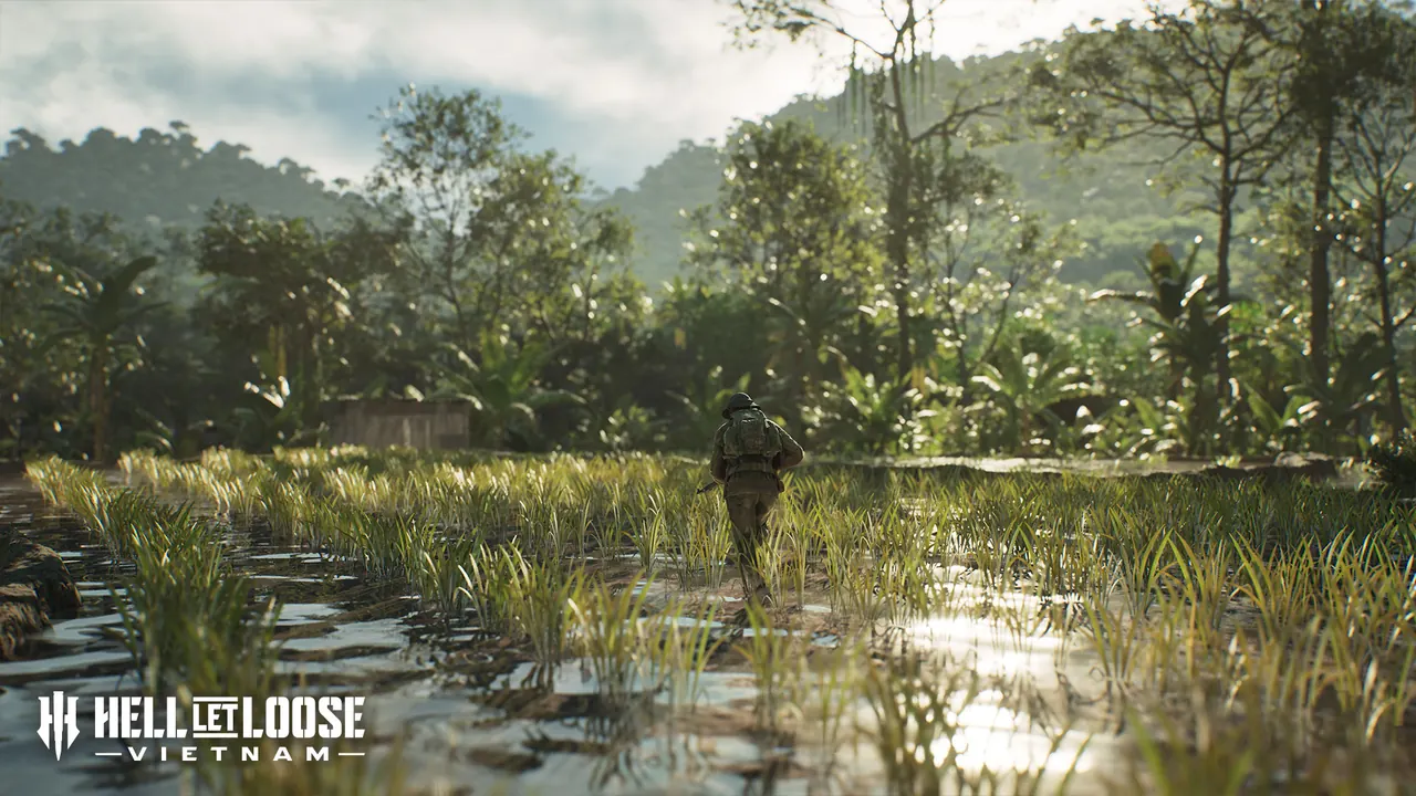
Quảng Ngãi features flooded ground, beaches, rocky cliffs, caves, bamboo forests, rivers, and open lowlands. Fighting shifts between tight jungle routes and exposed cross-river or cliff approaches. Helicopter movement and infantry cover both matter because the terrain changes sharply across the map.
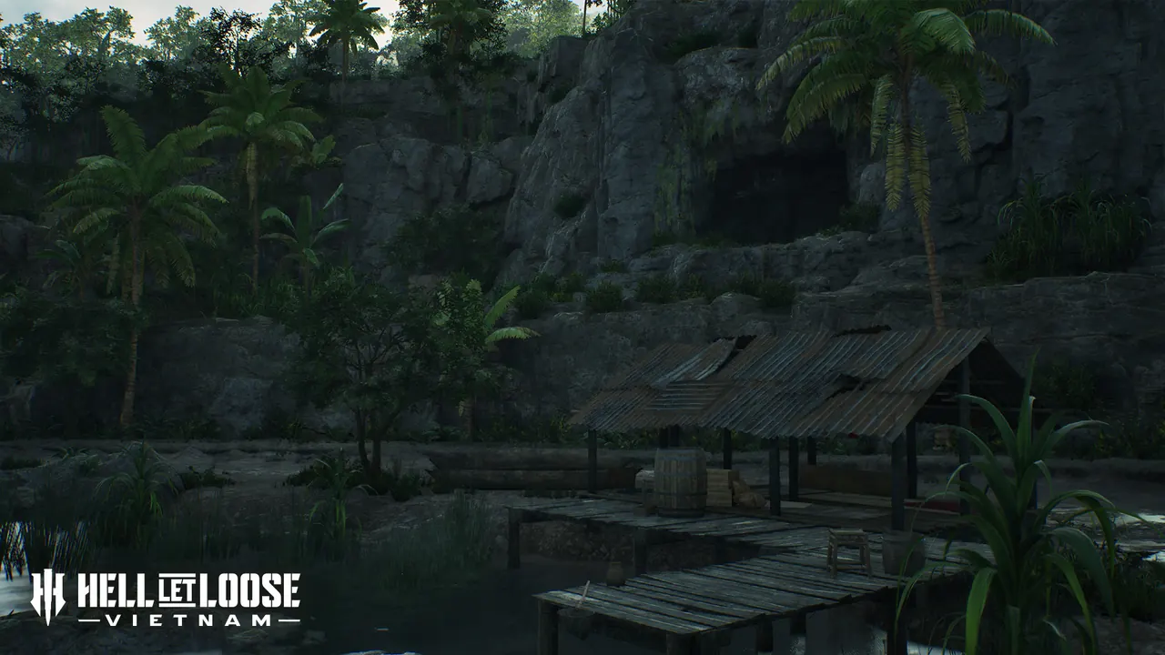
Đắk Tô Airfield
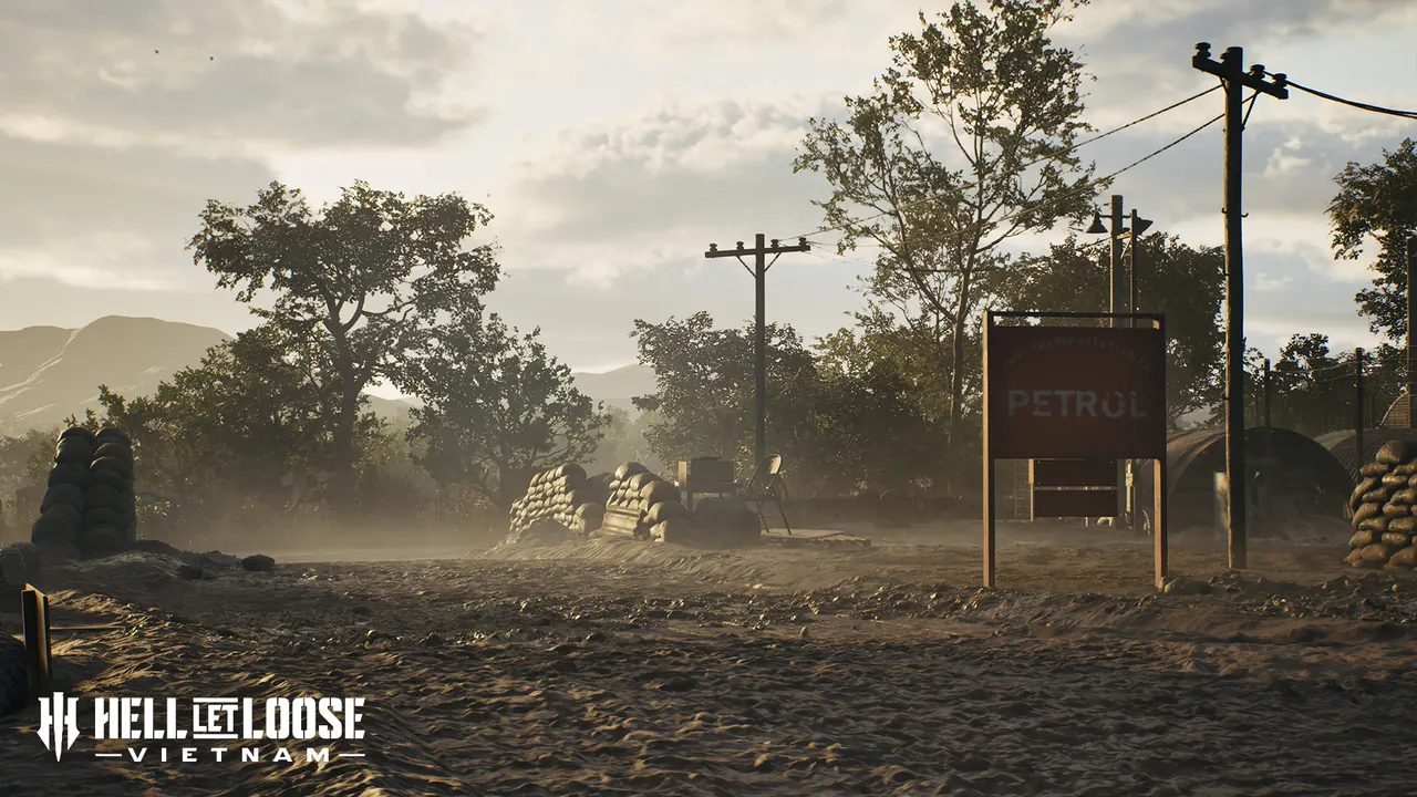
Đắk Tô Airfield is built around a long runway and fortified military positions. The open airstrip gives armour and reconnaissance units long sightlines, while villages, hamlets, and jungle surround the base. Infantry crossing the runway needs smoke, fire support, or a route that avoids the most exposed ground.
Cam Ranh Port
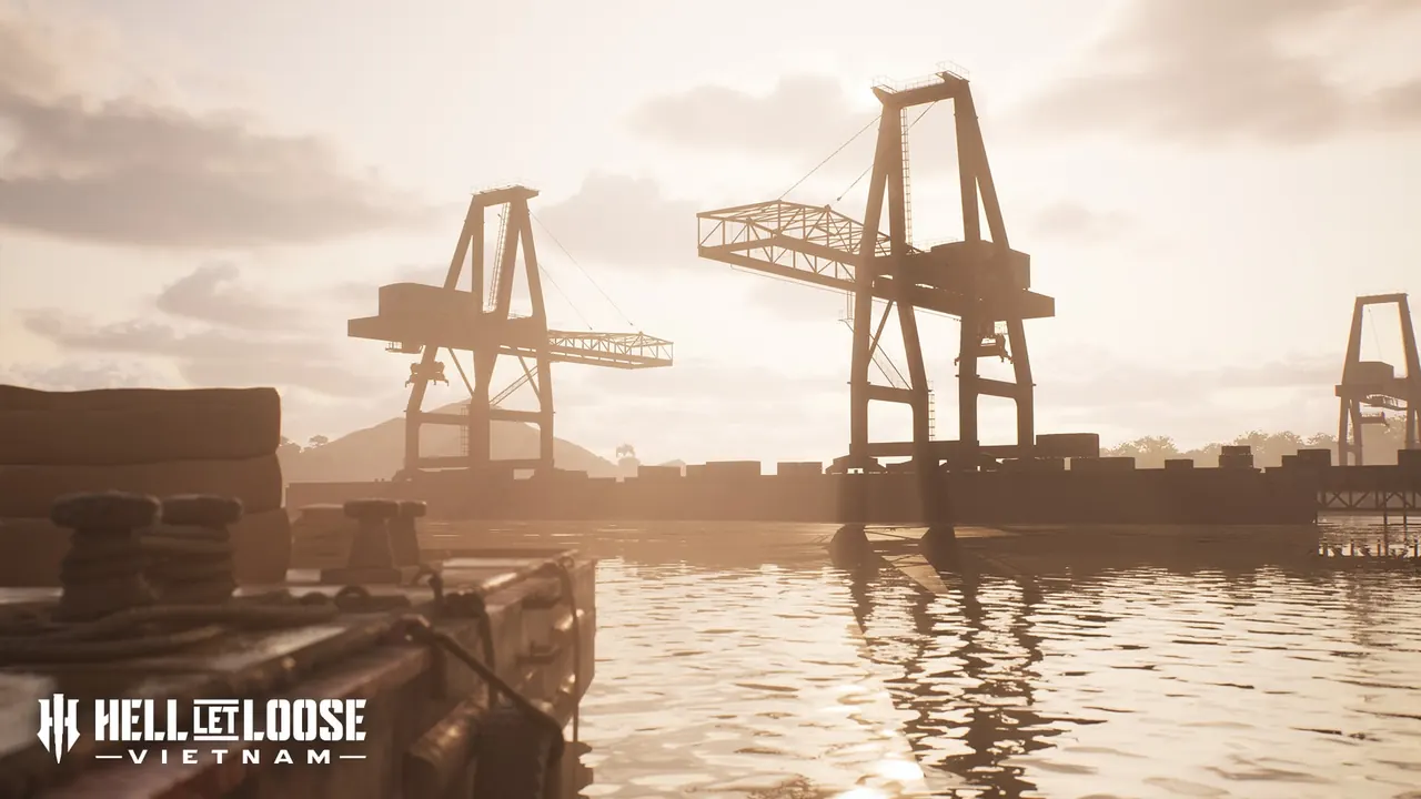
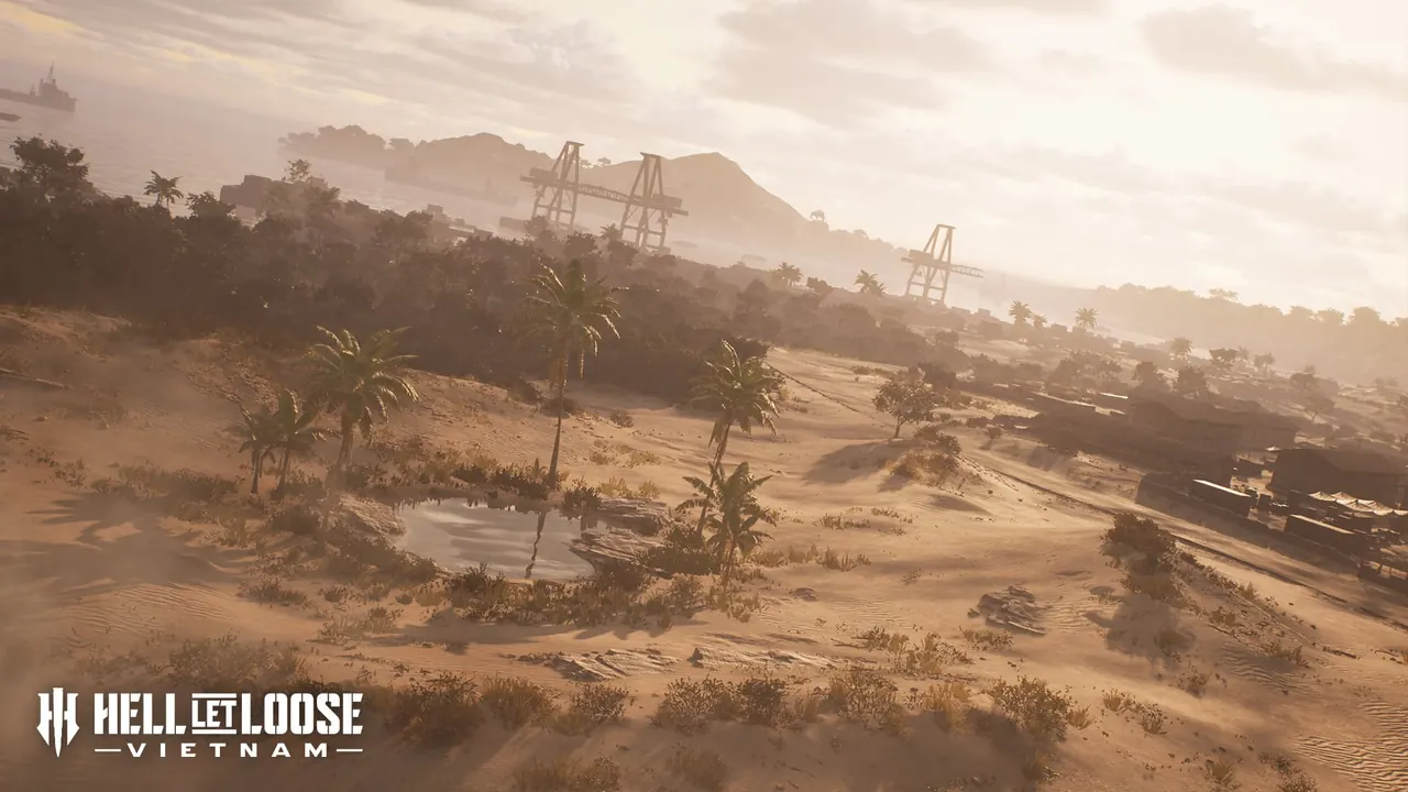
Cam Ranh Port is the most industrial of the launch environments. It includes docks, militarized facilities, dry creek beds, rolling dunes, and a wide southern waterway. The docks create close-range fights while the open water supports broader boat engagements.
Using the 3D tactical map
The tactical map shows elevation, roads, rivers, objectives, and available spawn points in a three-dimensional view. Check the active objective and squad spawn first, then inspect whether the direct route crosses exposed water, open runway, steep ground, or dense jungle. The shortest line is often not the safest approach.
Map mechanics shared across the game
River networks support patrol boats and create natural crossing points. US helicopter units move troops, provide fire support, and deliver supplies, while NVA tunnel networks create less visible deployment routes. Those systems make control of roads, riverbanks, landing zones, and concealed approaches important on every map.